
Walk an Athens Street Record
Start the Athens street directory with the exact address already known. Clarke qPublic links that situs address to a parcel and current tax owner. The parcel card then supplies the durable parcel ID and, when populated, sale references. Those book and page numbers lead into the recorded deed. A lawful voter-list product and a reverse directory can add dated signs of residence, but neither turns ownership into proof of a full household.
- Enter the situs address in Clarke qPublic. Save the parcel ID, owner, separate mailing address, legal description, and Sales references.
- Open the parcel map. Zoom until boundaries show, then select lots in street order rather than assuming one search result covers the block.
- Take each deed book/page to GSCCCA or the Clerk. Read the instrument for parties, legal description, and the prior transfer.
- Use a properly ordered voter file only within Georgia's limits. My Voter Page is identity-gated and cannot be browsed by street.
- For an older Athens address, inspect a reverse section at the Heritage Room or UGA and compare nearby years.
The chain is address to parcel, parcel to owner, owner to deed, then dated occupancy evidence. Keep each claim tied to its source and year.
Athens Street Search Fields
The Clarke qPublic search is the main address-to-owner bridge. Its live labels can shift after a vendor update, but the inspected controls support owner, address, parcel, and map work.
| Field | Input | Use |
|---|---|---|
| Owner Name | Text | Find parcels by current tax owner |
| Location Address | Text | Search an exact situs or street |
| Parcel Number | Text | Open the durable parcel record |
| Map | Tab or control | Place a selected parcel in GIS context |
The Georgia property-record directory also identifies Clarke qPublic as the county portal. Its screen is shown below, followed by the local Tax Assessor page used when the web search fails.
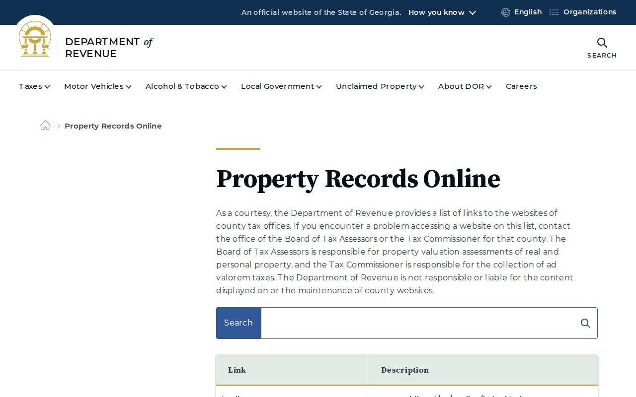
The state directory confirms the correct county entry point rather than adding another resident roll.
The Athens-Clarke Tax Assessor provides the office route, phone access, and public-counter fallback.
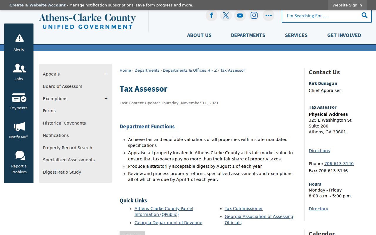
That fallback matters when an address spelling, map control, or vendor session blocks the online result.
Athens Situs and Mailing Addresses
A situs address labels the taxed land. The mailing address is where the owner asks the tax office to send notices. It may point to the same house, a different home, an office, or a management address. A street directory must keep the two fields separate. Even a homestead exemption is only support for owner occupancy in that tax year. It does not name all people at the address.
- Parcel
- A mapped unit of land with a county identifier.
- Situs address
- The location label attached to the taxed parcel.
- Plat
- A recorded survey drawing showing lots, blocks, and subdivision geometry.
- Criss-cross directory
- A directory section arranged by street and house number instead of surname.
Apartment parcels are a sharp example. qPublic may name the complex owner while giving no unit-level residents. Never fill that gap with an inference.
Map Athens Lots by Street
On the qPublic map, locate one known parcel and zoom until parcel lines are clear. Click each polygon that shares an edge or lies across the road. Record every parcel ID and open its report in turn. The map can show boundaries and public planning layers, yet no public radius or buffer export of owners was verified. Manual parcel-by-parcel browsing is the sound method.
Zoning, flood, commission district, and base-map layers describe rules or geography. They do not identify residents. For map help, ACC Maps and public terminals at the Assessor, Clerk, and Planning offices provide alternate access. Planning GIS can also make maps when a research question needs an official product.
Athens Records Arranged by Address
Each Athens record answers a different street question. The coverage table keeps ownership, residence, construction, and map evidence from being merged.
| Record Set | Keeper | What It Shows | Access |
|---|---|---|---|
| Assessment roll | Tax Assessor | Owner, mailing and situs addresses, parcel, values, exemptions, sales refs | qPublic, phone, or counter |
| Parcel GIS | Assessor and ACC GIS | Boundaries, nearby parcels, map context | qPublic Map, ACC Maps, public terminals |
| Deeds and plats | Clerk of Superior Court | Parties, legal transfer, description, book/page | GSCCCA, Kofile, or courthouse |
| Voter list | Georgia SOS and ACC Elections | Public registrant fields allowed by law | Identity lookup or ordered file |
| Permits and code files | Building Inspections and Planning | Work, dates, applicants, and cases | Active system or Open Records request |
| Reverse directory | Heritage Room and UGA | Listed occupant and phone for one publication year | Digital subset, staffed room, or shelf request |
The parcel number binds the assessment, map, and plat. The street name is less stable, so old work also needs legal descriptions, directory street guides, Sanborn index sheets, and city engineering maps.
Athens Sales Rows to Deeds
ACC's own site-plan guidance points researchers to qPublic's Sales section for deed and plat book/page references. A sale row may also show date, price, and a qualification reason. Read that reason. A nominal family or corporate transfer should not be treated as a market sale, and the parcel card still does not prove who slept at the property.
Take the reference to the GSCCCA real-estate index or the Clerk's public terminal. Search each grantor backward as an earlier grantee, while matching the legal description. The portal appears below.
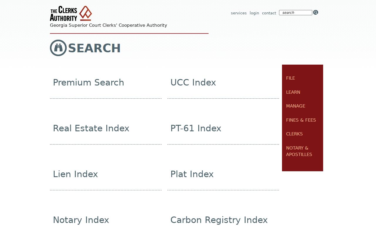
The index supplies the route to an instrument; the deed image supplies the fuller transfer and land description.
Athens Deed Access Channels
The Clerk of Superior and State Courts is the land-record custodian at 325 E. Washington Street, Suite 450. Current and later indexes run through GSCCCA, while Kofile QuickLinks covers Clarke deeds from 1801 through 1984. A free Kofile account exposes distorted previews until an image is bought. That odd limit makes the courthouse terminal and Clerk copy service important fallbacks.
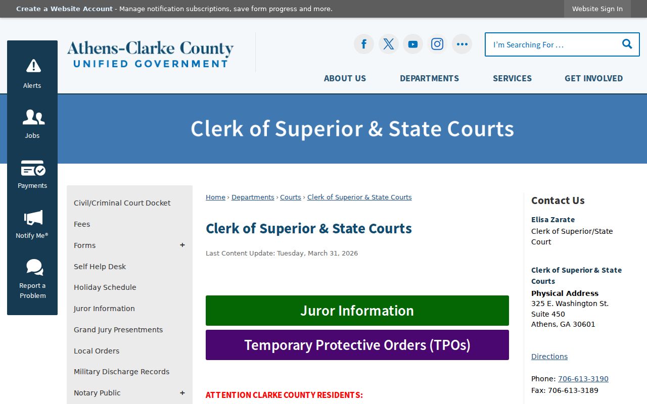
The Clerk remains the authoritative place to resolve index gaps, obtain a record, or inspect books that the web view does not expose.
Athens Permits Date an Address
Building and code records add dates, work descriptions, permit or case numbers, and named applicants. They can show when a structure changed. They do not create a household list. If no stable public query returns the record, use the ACC Open Records route and specify Building Inspections or Planning, the exact situs address, record type, and date range.
The Georgia Open Records Act requires a response within three business days, though the response may give timing, cost, or an exemption rather than the record at once. An office need not compile a new street list. Ask for an existing file or export and offer to inspect it.
Athens Streets in Reverse Directories
A reverse section flips the Athens city directory from surname order to street, number, occupant, and often telephone. Not every volume contains one. Check the table of contents and photograph its abbreviation key first. The Heritage Room, UGA MAGIL, Hargrett for pre-1900 volumes, and the Digital Library of Georgia provide the documented access chain.
Compare consecutive editions because publication dates are snapshots, not exact move dates. The full historical shelf and its publishers belong on the Athens city directory collections page. Here, the reverse volume serves one narrow job: it adds dated listed occupancy to a modern by-address trail.
Match Old Athens Street Numbers
No verified Athens-wide renumbering year or complete rename concordance was found. Do not force a modern address into an old street directory. Compare directory street guides, Sanborn index sheets, deed legal descriptions, plats, and the Athens City records held at UGA. Those municipal maps and plans span 1860 through 1970 and can bridge an old lot to later city engineering.
UGA documents Athens Sanborn sets for 1885, 1888, 1893, 1898, 1903, 1908, 1913, 1918, 1926, and a 1926 set updated to 1967. A footprint or use label helps reconcile a site, but it does not name occupants.
Athens Streets and Civic Boundaries
The ACC registered-neighborhood directory adds mapped civic boundaries, commission districts, and public organization contacts. It is not a resident roster. Association lines can differ from parcel blocks, and a representative's listing does not prove where every member lives.
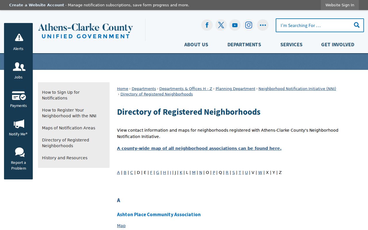
The civic layer is most useful for finding a public point of contact after parcel research has placed a street within a mapped group.
Limits of an Athens Street Directory
No official Athens source lists everyone living on a street. Owners, voters, permit applicants, and directory listees are four distinct groups. Renters, children, unlisted adults, and protected voters may be absent. Utility, delivery, device, and motor-vehicle residence data are not substitutes. VoteSafe also removes ordinary address visibility for eligible protected people.
Lawful use. Use Athens address records for lawful personal, family, property, or civic research. Never use them to stalk, harass, threaten, or harm anyone.
A missing name is not proof of absence. Confirm each claim with the custodian and state only what the cited record supports.