
Athens ZIP Directory Coverage
Athens mail uses four core standard codes, two University of Georgia codes, four post-office-box codes, and several fringe postal cities that can touch the wider Athens area. The table keeps the types distinct. A standard code covers carrier geography. A unique code serves an institution. A box code cannot support a house-by-house browse. The exact parcel and government boundary still require county GIS.
| ZIP | Areas Covered | Postal Type | Local Note |
|---|---|---|---|
| 30601 | Downtown and north-central to east-central Athens | Standard Athens | Main geographic city code; crosses neighborhood lines |
| 30605 | Eastside and southeast Clarke | Standard Athens | Major residential and student area |
| 30606 | West Athens with a broad north-south reach | Standard Athens | Residential and business areas |
| 30607 | Northwest and west of 30601, Jefferson Road corridor | Standard Athens | Includes fringe geography |
| 30602, 30609 | University of Georgia mail | Unique Athens | Not normal residential polygons |
| 30603, 30604, 30608, 30612 | Box addresses | PO Box Athens | No street-resident meaning |
| 30622, 30646, 30683 | Bogart, Hull, and Winterville fringe | Standard nearby postal cities | Verify municipality and county parcel |
The local shorthand is useful but rough. The wide west side sits mostly in 30606, while 30605 is tied to east and southeast Athens. Yet the ZIP code directory cannot turn these routes into fixed neighborhood borders. UGA mail adds a further twist because institutional volume has little connection to a count of households.
Athens ZIP Codes 30601 and 30605
Code 30601 covers downtown and north-central or east-central neighborhoods. It is the main geographic Athens code, but it crosses named neighborhood lines. Campus-adjacent addresses and the flow of student mail can also make a raw postal count look more like a resident count than it is. Check the parcel rather than treating the ZIP as a census tract.
Code 30605 serves eastside and southeast Clarke. It includes large residential and student areas, while postal geography may diverge from the local boundary. Current addresses are best checked through USPS, then matched to Clarke qPublic and ACC GIS. Older downtown and nearby areas may also benefit from directory and Sanborn research, but that historical street work belongs after the current jurisdiction is fixed.
Athens ZIP Codes 30606 and 30607
Code 30606 stretches across west Athens on a broad north-south axis. Its size alone is a warning against using a ZIP as a neighborhood name. Code 30607 lies northwest and west of 30601 along the Jefferson Road corridor and can take in fringe geography. A search aimed at one person or parcel needs the full street address, not just the five digits.
Newer west-side subdivisions rely more on qPublic, plats, deeds, and digital permit files than on old city directories. That source mix reflects the age of the streets, not a special rule attached to either postal code.
Once the correct code is known, the Athens street directory explains the address-level parcel route. That shift matters because qPublic's durable key is the parcel number, and a street address is only a situs label that can change. ZIP codes narrow the field; parcels establish the land record.
UGA's Unique Athens ZIP Codes
The University of Georgia uses 30602 and 30609 as unique codes. A unique ZIP is assigned to a high-volume institution rather than drawn as a normal set of home delivery streets. Neither code should be used to infer that every listed person lives on campus or within a conventional residential polygon. University directories, yearbooks, and work contacts can identify institutional ties, but they do not prove an Athens home address.
This is the key Athens geography quirk. Student and institutional mail can distort counts built from postal records. Use the university code to route mail or identify a campus link, then look to county parcels, a dated directory, or another proper source for residence.
Athens PO Box ZIP Limits
Codes 30603, 30604, 30608, and 30612 are Athens PO Box codes. They route mail to boxes, not to house polygons. A box may be used by a person, family, firm, trust, or group. It cannot show which street they occupy. That makes a box code a poor basis for finding residents by ZIP code.
A box address can still be a useful dated contact point in a filed record. Keep it labeled as mailing evidence. If the same person also appears on a parcel card, note that the tax-mail address and the parcel's situs address are separate fields. Do not merge them into a claimed home without a second source.
Finding Athens Residents by ZIP
No stable public Athens assessor portal with a ZIP-wide filter was verified. The safe process starts with USPS and then moves to the custodian that can supply the relevant geography. qPublic accepts owner, address, and parcel searches. For a broader study, ask the Assessor for an existing digest with a situs ZIP field, if held, or ask GIS about selection. A public voter-list order uses county, municipality, district, or precinct filters, not a free open ZIP browse.
- Use the official USPS lookup to standardize the city, state, and five-digit code for the address. Keep any unit number with the search.
- Open Clarke qPublic or ACC GIS and match the exact situs address. Record the parcel ID and county jurisdiction.
- For a broader file, ask whether an existing assessor digest contains situs ZIP. Do not ask the office to create a new directory.
- Order a lawful Clarke voter file when voter evidence fits the purpose, then use only the public fields and statutory filters supplied.
- Narrow the result to a street or parcel and verify each name with a second dated record.
This process avoids pretending that a postal route is a resident roll. It also keeps VoteSafe and other intentional address protections intact.
USPS Fields for Athens ZIP Lookup
The USPS ZIP Code Lookup supports a city-and-state search as well as an address search. It standardizes the mailing result. It does not determine a tax district, city limit, school zone, or parcel owner.
| Field | Input | Needed | What It Does |
|---|---|---|---|
| Search mode | By Address or By City and State | Yes | Chooses the form |
| Street / Company | Text | Address mode | Identifies the delivery point |
| Secondary unit | Apartment or suite | When present | Refines a multi-unit address |
| City and State | Text and selector | Yes | Sets postal place |
| ZIP | Five digits | When checking an address | Confirms or corrects the code |
Review the source before the screenshot below.
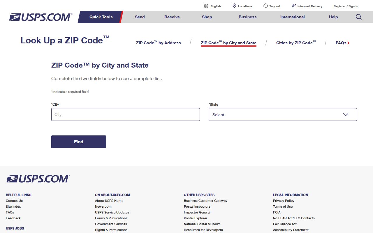
The captured form shows the postal inputs, while the county map remains necessary for jurisdiction.
Athens ZIP Research and Voter Files
Georgia's voter-list ordering page offers statewide, active-only, or active-and-inactive files. A Clarke request can use county, municipality, district, and precinct choices. Delivered records include public names and residence addresses, while phone, birth date, Social Security number, and driver-license number are left out. Production normally takes one to two weeks after payment.
The order page illustrates that official voter geography is built around election areas, not a public ZIP search.
Georgia has no party registration. A participation field can show that a voter took part in an election, never how the ballot was marked. VoteSafe also protects qualifying addresses. A ZIP-based analysis must preserve those gaps and must not publish a house-by-house voter roster.
Athens ZIP Fringe Geography
Bogart 30622, Hull 30646, and Winterville 30683 show why postal city and government jurisdiction can conflict. Bogart-area addresses may fall outside the unified-government boundary. A Hull address can require a Clarke-versus-Madison County parcel check. Winterville is a municipality within Clarke County, so not every 30683 address should be relabeled as Athens city.
The Census also reports an “Athens-Clarke County unified government (balance)” geography. The balance leaves out separately incorporated parts, which makes it different from all of Clarke County and from a pile of Athens mailing addresses. For records work, resolve the parcel and municipality with ACC GIS before choosing the office or describing the place.
Athens ZIP Codes Versus City Limits
ZIP codes are mail routes, not city-limit polygons. The Athens mailing name can extend beyond a reader's idea of the city, while a nearby postal city can still point to land in Clarke County. USPS answers the mail question. ACC GIS and qPublic answer the parcel and jurisdiction question. The two checks should be kept side by side rather than forced into one boundary.
- ZIP vs ZIP+4
- A ZIP is a five-digit delivery area. ZIP+4 narrows a delivery segment or group of addresses.
- PO-box ZIP
- A code assigned to post-office boxes, without a street-resident polygon.
- Unique ZIP
- A code assigned to one large institution, such as UGA, because of its mail volume.
- Carrier route
- The set of delivery points handled on a postal carrier's route, which may cross other local boundaries.
Boundary check. Confirm an Athens mailing code with USPS, then confirm county and municipality through ACC GIS before describing the address.
The Georgia open-government guidance supplies the fallback when an existing address-assignment or GIS file is not online. Ask ACC Planning or General II by parcel ID, date range, and record name. The agency responds under the Georgia Open Records Act, but it need not create a new ZIP code directory.
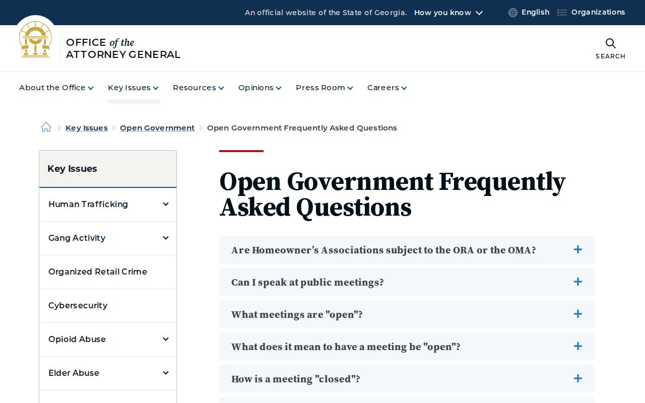
The official guidance supports a focused record request when USPS and public GIS do not resolve an Athens boundary question.